Aerial data acquizition
The rapid development of unmanned aerial systems contributed to the popularization of aerial mapping in recent years. In geodesy, aerial images are used to deliver high-quality spatial data. Photogrammetry is a technique that is allowing us to derive spatial data from high-quality aerial images, and the product of photogrammetric processing is a 3D model of the imaged object or objects.
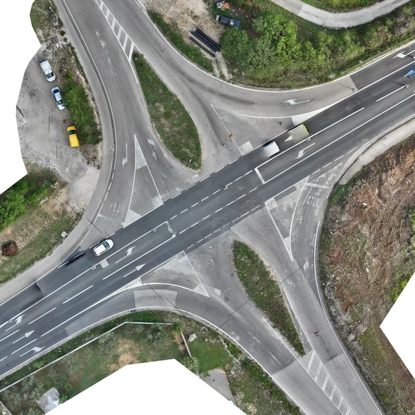
Besides the 3D models, the result of the photogrammetric processing is the point cloud of the imaged object, digital surface model and digital orthomosaic of the imaged area, etc. Those products are used for various purposes such as; control over the road construction, urban planning, monitoring the construction works dynamics, visual inspection of buildings and objects, concrete crack detection, query exploitation monitoring as well as monitoring aggregate volumes on construction site and excavation site, delivering the contour plan and high-resolution map etc.
Some of the related services that we offer:
- Producing the photorealistic 3D model of the building.
- Producing the high-resolution digital orthomosaic.
- Producing the detailed digital terrain model.
- Visual inspection of the buildings and other objects.
- Aggregate inventory monitoring